
Outback Canoe Safari
Menindee Lakes and Lake Pinaroo
July 2021
By PETER CALEY
We regularly travel into outback South Australia, New South Wales and Queensland during July to punch a hole in winter for a couple of weeks, and nearly always take a canoe. Many of the great spots—whether it be due to good camping, nature study or history have one thing in common and that’s water—and what better way to experience the water and see the surrounds and wildlife than from a canoe.
In fact, inland Australia is noted for wetlands and waterbirds! Of course, the rivers and wetlands don’t always have water, but our experience is that at least one of the major rivers systems will have had a major flow. The La Niña year of 2020/2021 generated big rains in the far north west of New South Wales, including Lake Pinaroo (which fills from local rain), so this year we included it on our travels as part of a larger loop, after first spending some time at Menindee Lakes.

Menindee Lakes
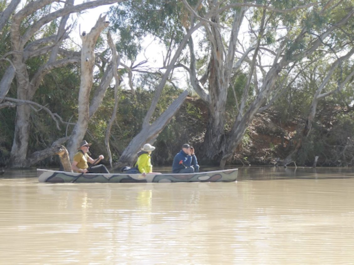
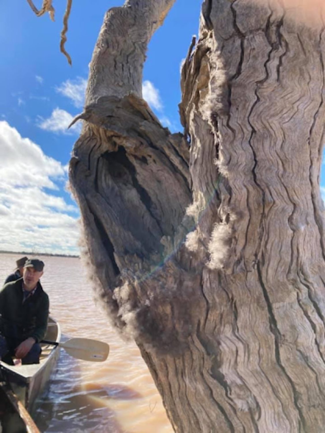
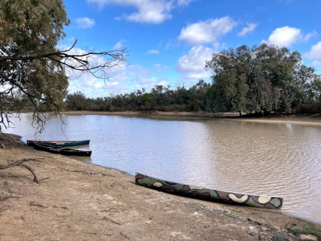
When full—as in this year—the Menindee Lakes have a lot of water, and present many paddling opportunities, as does the Baaka (Darling River) from which the lakes obtain their water, via a diversion from the Main Weir.
In years of flow the flatwater touring possibilities on the Baaka are huge. Wind can be a problem, though there are usually sheltered options available, such as the connecting channel between Lake Menindee and Lake Cawndilla, or anywhere along the Baaka, including Lake Wetheril.
Paddling out into Lake Menindee along the old inlet channel (marked by dead trees) that feeds into the Lake Menindee outlet regulator (access across the road from the visitor information hut) was very enjoyable. Flocks of ducks were playing cat-and-mouse with a pair of peregrine falcons.
Most of the lakes lie within Kinchega National Park, where there are number excellent camping options, including well-spaced options on the banks of the Baaka. Broken Hill is close (an hours drive) and well worth a visit, especially if you are continuing on toward Sturt National Park and Lake Pinaroo.
Lake Pinaroo
Lake Pinaroo lies within Sturt National Park, just south of the Queensland border and east of the South Australia border (you can get refreshments at the Cameron’s Corner Store). Once full, the lake retains water for a number of years—as many as seven supposedly—so you’ve got time!
The lake is a Ramsar-listed wetland, largely on account of the aggregations of waterbirds that congregate there in good years. This year there were numerous flocks of budgies, corellas and cockatiels and numerous spectacular crimson and golden chats. Many of the birds were breeding in the drowned coolibahs out on the lake. The neighbouring Fromes Swamp was where the waterbird action was though.
The portage from the Fort Grey campsite to the lake is about 750 metres—and will get further as the water recedes. Wind was an issue, so early starts are advisable. We intended to paddle to Sturts Tree, but aborted in the faced with white caps.

Knowing where the water is
I use the following Bureau of Meteorology site a lot to keep track of flows in rivers: New South Wales Rainfall and River Conditions.
Figuring out if lakes have water in them is a bit more involved. Keeping an eye on the news helps (for example, ABC News articles such as Lake Pinaroo fills for first time in 10 years as Far West NSW welcomes heavy rains and Thousands of waterbirds return to Lake Cowal wetlands after drought breaks).
You can also use remote sensing options such as the USGS LandsatLook site—go to the Explore tab and zoom in to your favourite wetland.

Keeping track of road closuresWhen travelling in inland New South Wales off the bitumen, it is handy to keep track of road closures. For example, Central Darling Road Condition Update covers off teh fastest dirt route between Sydney and Menindee.
